rareoldprints.com
Search
If you know the reference number
enter it here:
If you enter more than one word
it will be treated as
phrase
.
Insert
"and"
or
"or"
between words to search for
the words in any order
.
Refine your search
here or
build another search.
Displaying
0
to
10
of
28
-
Next
-
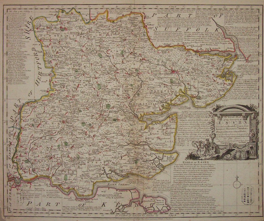
An Accurate Map of the County of Essex
Ref:
P/11056
Region:
Essex
Type: Copper
Cartographer:
Gibson
Engraver:
Bowen E
Publisher:
London. Printed for Rob Wilkinson 58 Cornhill, Bowles & Carver 69 St. Paul's Churchyard, and Laurie & Whittle 53 Fleet Street.
Date:
1828
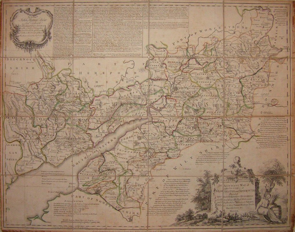
An Accurate Map of the Counties of Gloucester and Monmouth Divided into their Respective Hundreds
Ref:
P/4769
Region:
Gloucestershire
Type: Copper
Cartographer:
Bowen E
Engraver:
Bowen E
Publisher:
T Bowles, Robt Sayer, John Bowles & Son
Date:
1760
Sold
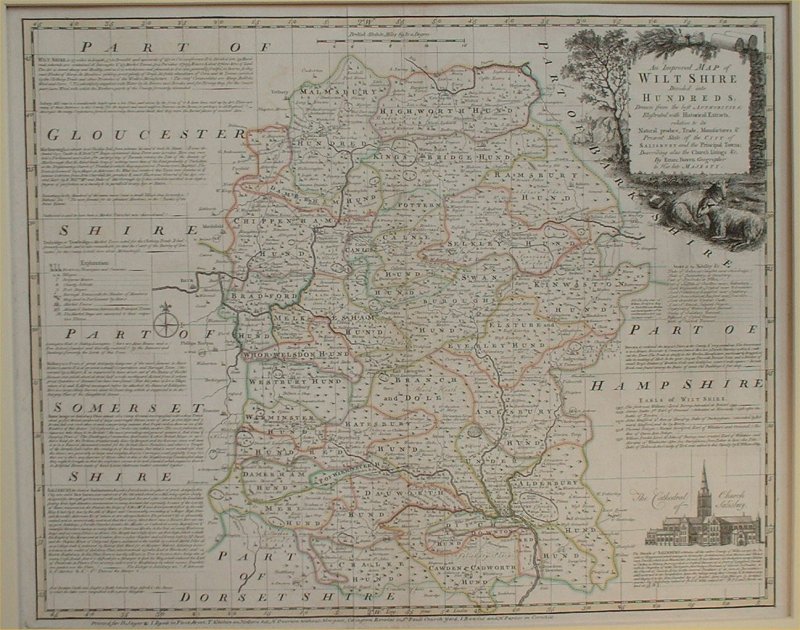
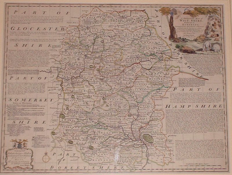
An Improved Map of Wiltshire Divided into its Hundreds
Ref:
P/8018
Region:
Wiltshire
Type: Copper
Cartographer:
Bowen E
Engraver:
Bowen E
Publisher:
Robt.Sayer & John Bennett, John Bowles & Carrington Bowles
Date:
1763
Not for sale
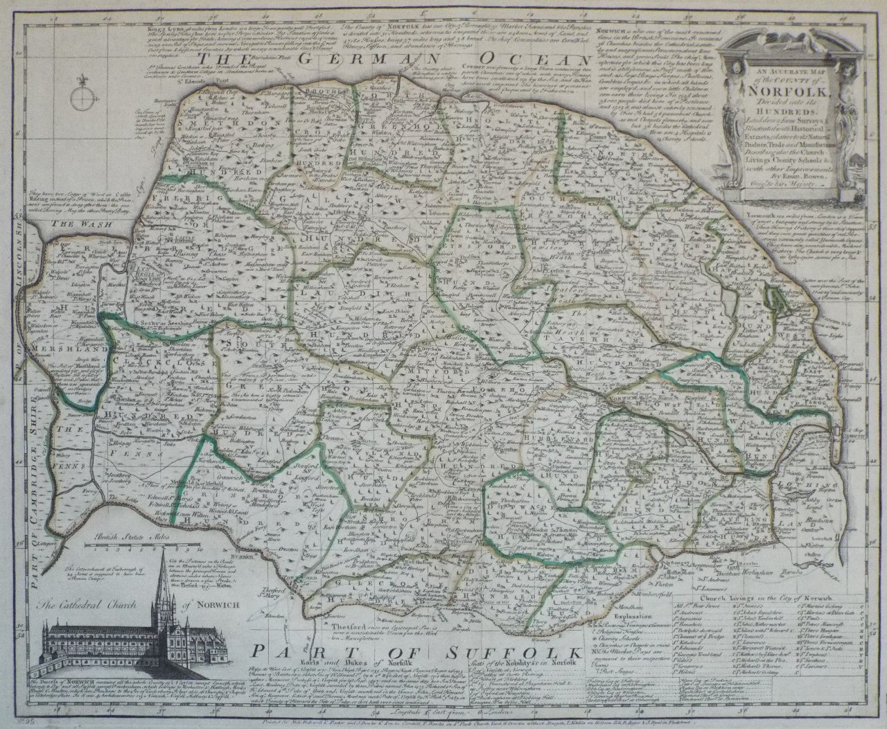
An Accurate Map of the County of Norfolk Divided into its Hundreds.
Ref:
P/12802
Region:
Norfolk
Type: Copper
Cartographer:
Bowen E
Engraver:
Bowen E
Publisher:
Printed for Messrs Bakewell & Parker and J Bowles & Son in Cornhill, T Bowles in St. Pauls Church Yard, H Overton without Newgate, T Kitchin on Holborn Hill, R Sayer & J Ryall in Fleet Street
Date:
1764
Sold
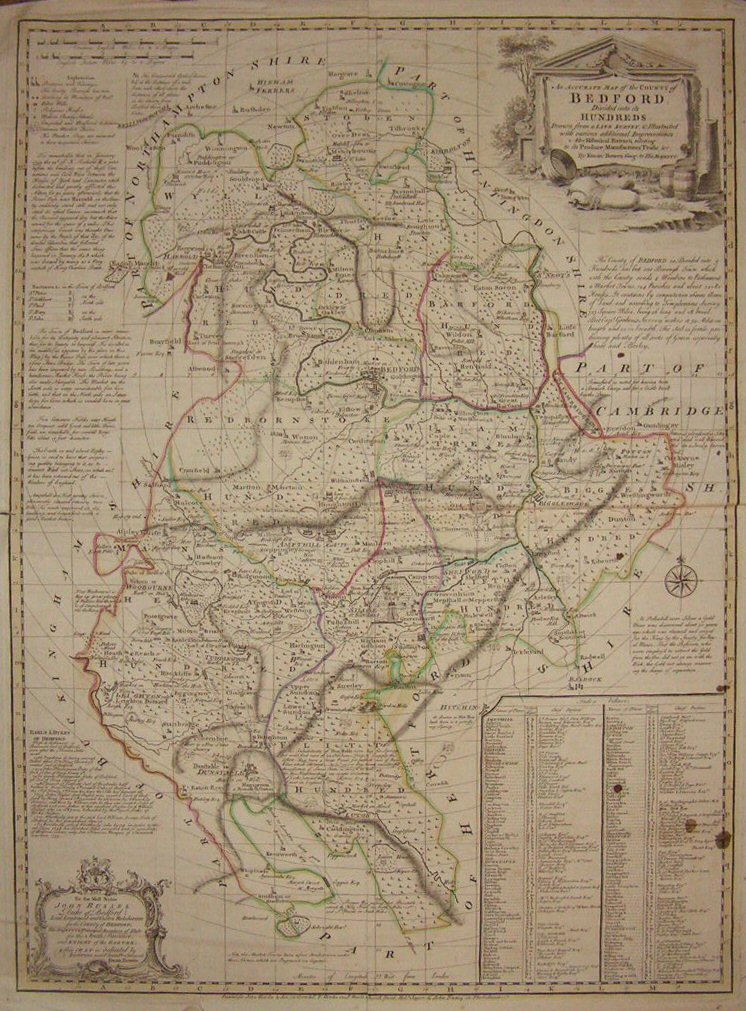
An Accurate Map of the County of Bedford Divided into its Hundreds
Ref:
P/13372
Region:
Bedfordshire
Type: Copper
Cartographer:
Bowen E
Engraver:
Bowen E
Publisher:
John Bowles & Son in Cornhill, T. Bowles in St. Pauls Church Yard, Robt. Sayer & John Tinney in Fleet Street
Date:
1760
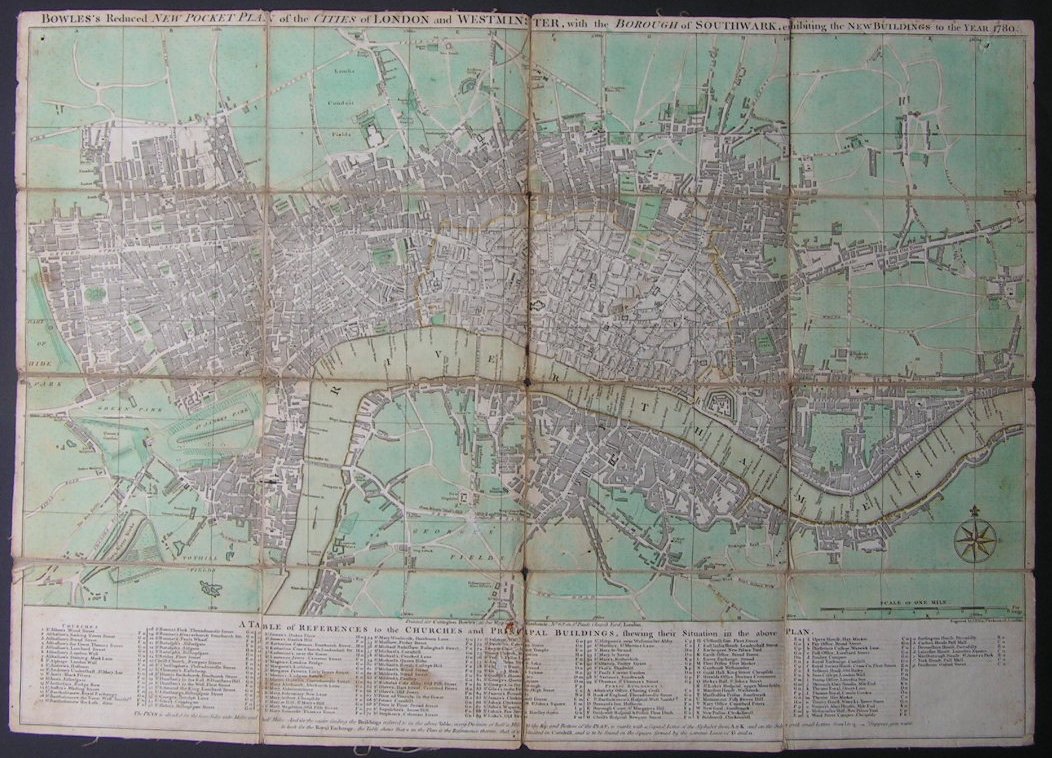
Bowles's Reduced New Pocket Plan of the Cities of London and Westminster, with the Borough of Southwark, exhibiting the New Buildings to the Year 1780
Ref:
P/4377
Region:
London
Type: Copper
Publisher:
Carington Bowles
Date:
1780
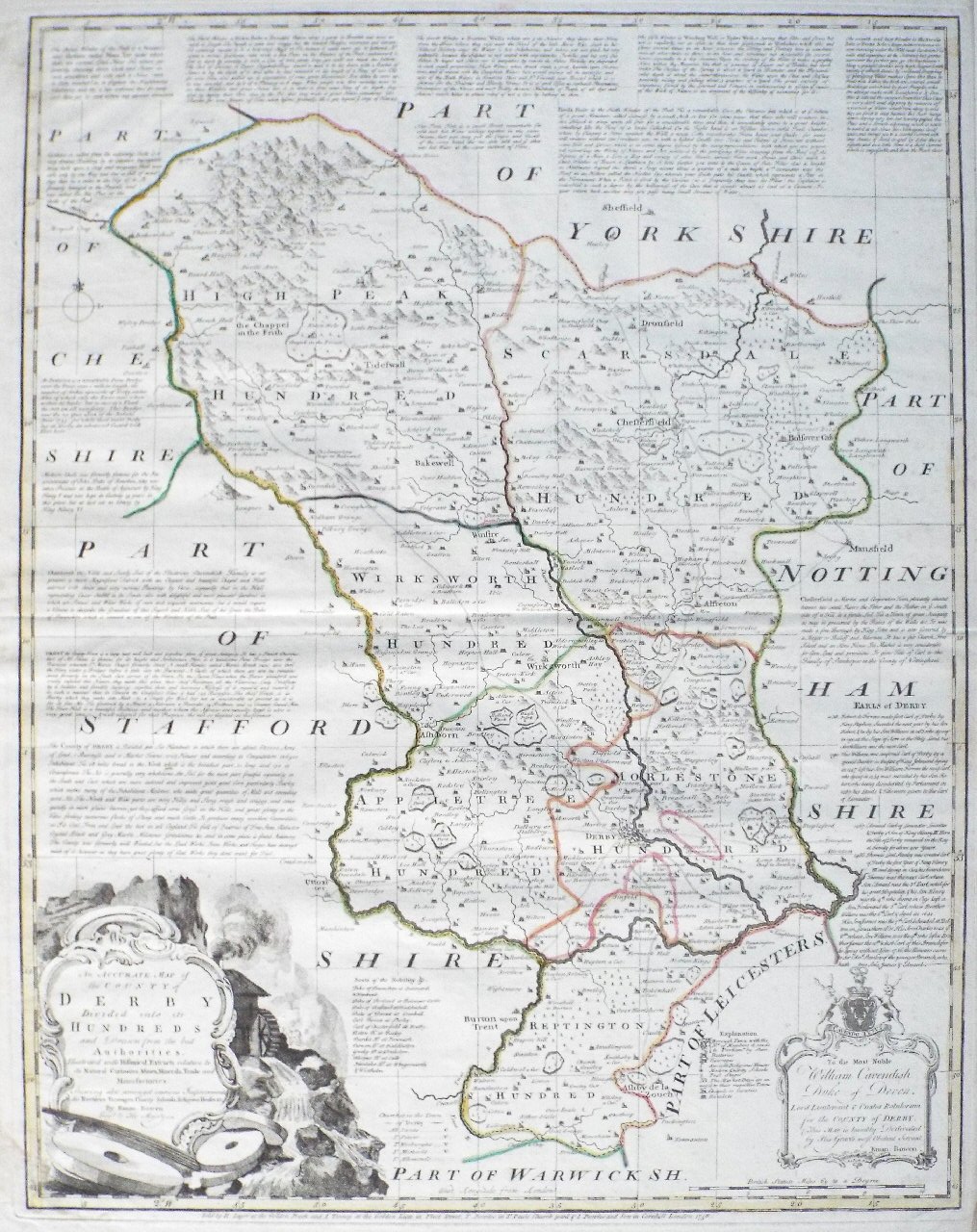
An Accurate Map of the County of Derby Divided into its Hundreds
Ref:
P/16096
Region:
Derbyshire
Type: Copper
Cartographer:
Bowen E
Publisher:
R. Sayer at the Golden Buck, J. Tinney at the Golden Lion in Fleet Street, T. Bowles in St. Pauls Churchyard & J. Bowles & Son in Cornhill, London
Date:
1758
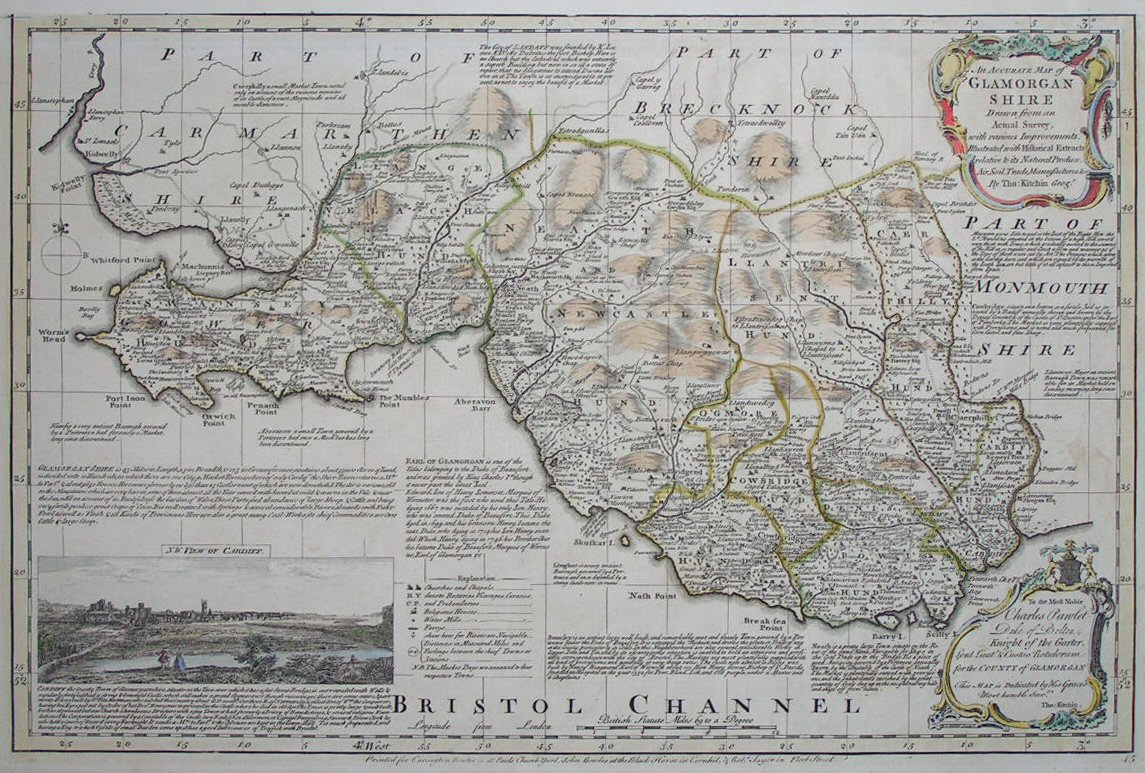
An Accurate Map of Glamorgan Shire Drawn from an Actual Survey
Ref:
P/6852
Region:
Glamorganshire
Type: Copper
Cartographer:
Kitchin T
Publisher:
Carington Bowles, John Bowles & Robert Sayer
Sold
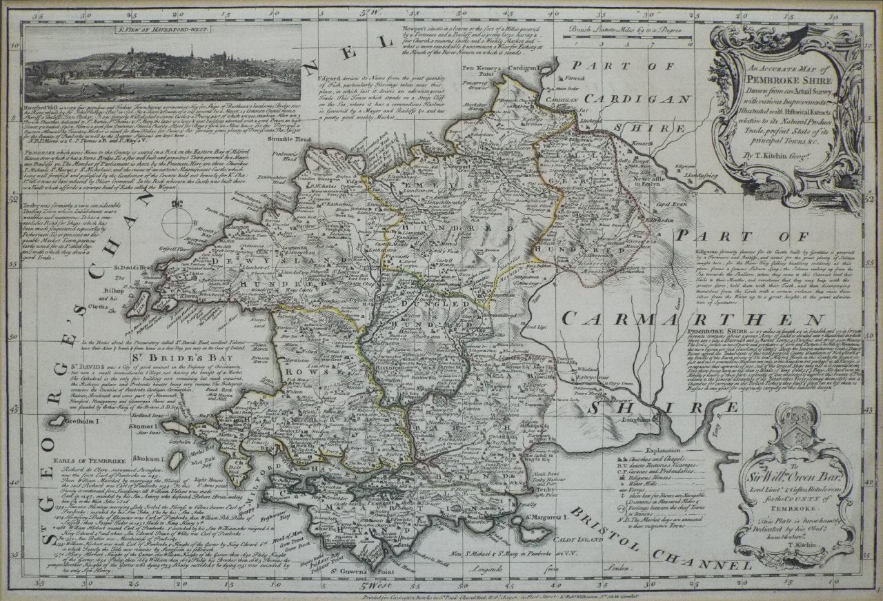
An Accurate Map of Pembrokeshire Drawn from an Actual Survey.
Ref:
P/15251
Region:
Pembrokeshire
Type: Copper
Cartographer:
Kitchin T
Publisher:
Carington Bowles, Robt Sayer, Robt Wilkinson
Sold
An Improved Map of Wiltshire Divided into its Hundreds
Ref:
P/8019
Region:
Wiltshire
Type: Copper
Cartographer:
Bowen E
Engraver:
Bowen E
Publisher:
John Bowles... & Robt. Sayer
Date:
1765
Not for sale
Displaying
0
to
10
of
28
Next